Recent and ongoing projects
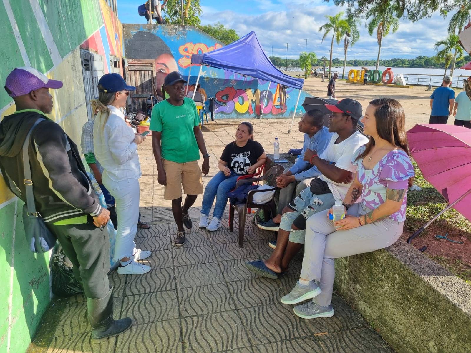
Diagnosis and characterization of socio-territorial dynamics, mapping of social actors and socio-environmental assessment for the formulation of the intermodal transport plan for the department of Chocó considering as the main transport axis the fluvial corridor of the Atrato - San Juan rivers and their tributaries, within a territorial planning framework around water; National Planning Department (DNP): financed by the Inter-American Development Bank (IDB); Colombia.
Client: National Planning Department (DNP)
Region / Country: Colombia | Latin America & the Caribbean
Sectors: Land use planning
Services: Studies
Client category: Cooperation agencies

Mission:
The main objective of the consultancy was to develop the intermodal transport plan for the department of Chocó for connections to and from the main cities of the department, considering as the main transport axis the fluvial corridor of the Atrato – San Juan rivers and their tributaries, within a framework of territorial planning around water.
Results:
Insuco has supplied the following products:
- Identification and analysis of strategic stakeholders for the study, including role, interests, functions, expectations and potential contribution to the project – stakeholder mapping.
- Primary data collection plan.
- Primary data collection tools (with their respective protocols): surveys, interviews, village maps, ethnic maps, focus groups and social mapping.
- Diagnosis and characterization of socio-territorial dynamics.
- Analysis of the river transport corridor of the Atrato – San Juan rivers and their tributaries, from a social, environmental, economic, institutional, cultural and functional point of view.
- Analysis of the environmental conditions of the Atrato and San Juan river basins, taking into account particular aspects of the territory such as reserve areas, national natural parks, areas of illicit crops, deforestation areas, areas of mining activity and others that the consultancy considers relevant, which may be enabling or conditioning factors for transport in the department.
- Interactive map containing basic information (municipalities, airports, accounts, rivers, among others) and environmental determinants (reserve areas, formalized indigenous reserves, national natural parks, resource exploitation rights, among others).
Tell us about your project!
Would you like to discuss your project and its issues? Learn more about Insuco and our expertise? Meet us?
