News
Maritime Spatial Planning

On more than 5000 km of coastline, Madagascar is now adopting an integrated approach to Maritime Spatial Planning to design a spatio-temporal distribution of human activities.
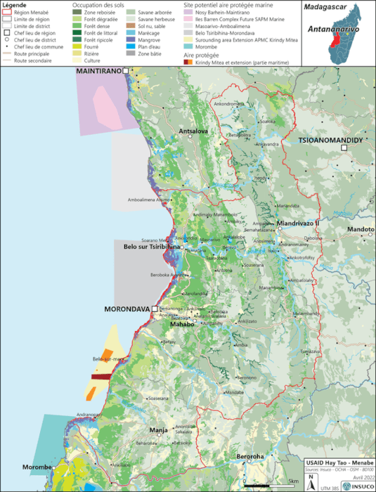
For the Menabe region, USAID HayTao has entrusted INSUCO Madagascar with the elaboration of an Atlas and a Maritime Diagnostic that will feed the multi-stakeholder process of spatial planning and strategic vision for the sustainable development of the coastline of this region.
